A Postcard from Kerguelen
Way back in the hazy past of June 2022, I received an invite for Midjourney, joining the Discord server when there were only 9,000 members (there are now over 20 million).
Starting with V2 and then the much-improved V3, I was naturally fascinated with the digital witchcraft it would conjure. I used it extensively in creative bursts, though none of my early experiments were ever used professionally. Since that nascent era, my thoughts on Generative AI have soured somewhat, although I’m not against using it for placeholder art and inspiration.
Anyway, that mild disclaimer aside, I thought I’d share one of my early ‘test’ projects…
The Kerguelen Islands are a windswept sub-Antarctic archipelago that reside in the southern Indian Ocean. Discovered by French navigator Yves-Joseph de Kerguelen-Trémarec on 12 February 1772, the islands’ landmass totals 2,786 sq miles (roughly the size of Corsica). Administered by France and home to roughly one hundred lonely French scientists and military personnel, this wind-ravaged realm is one of the most isolated places on Earth. They are also known as the Desolation Islands, and looking through Google’s limited range of cached imagery, it’s not hard to see why.
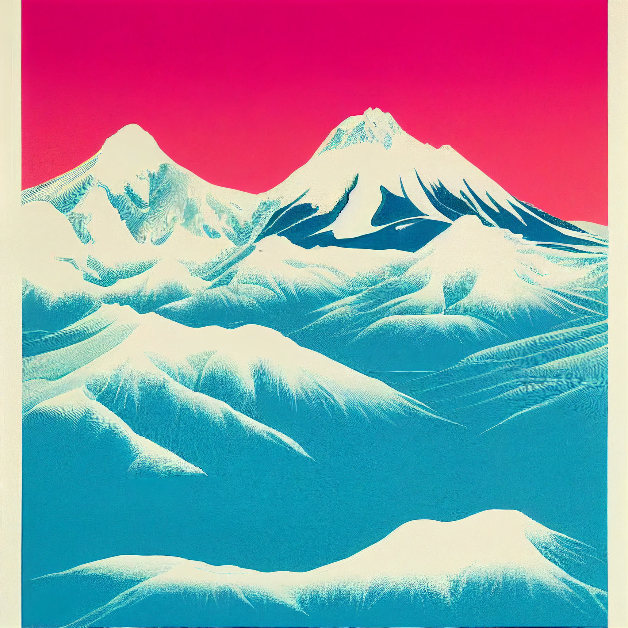
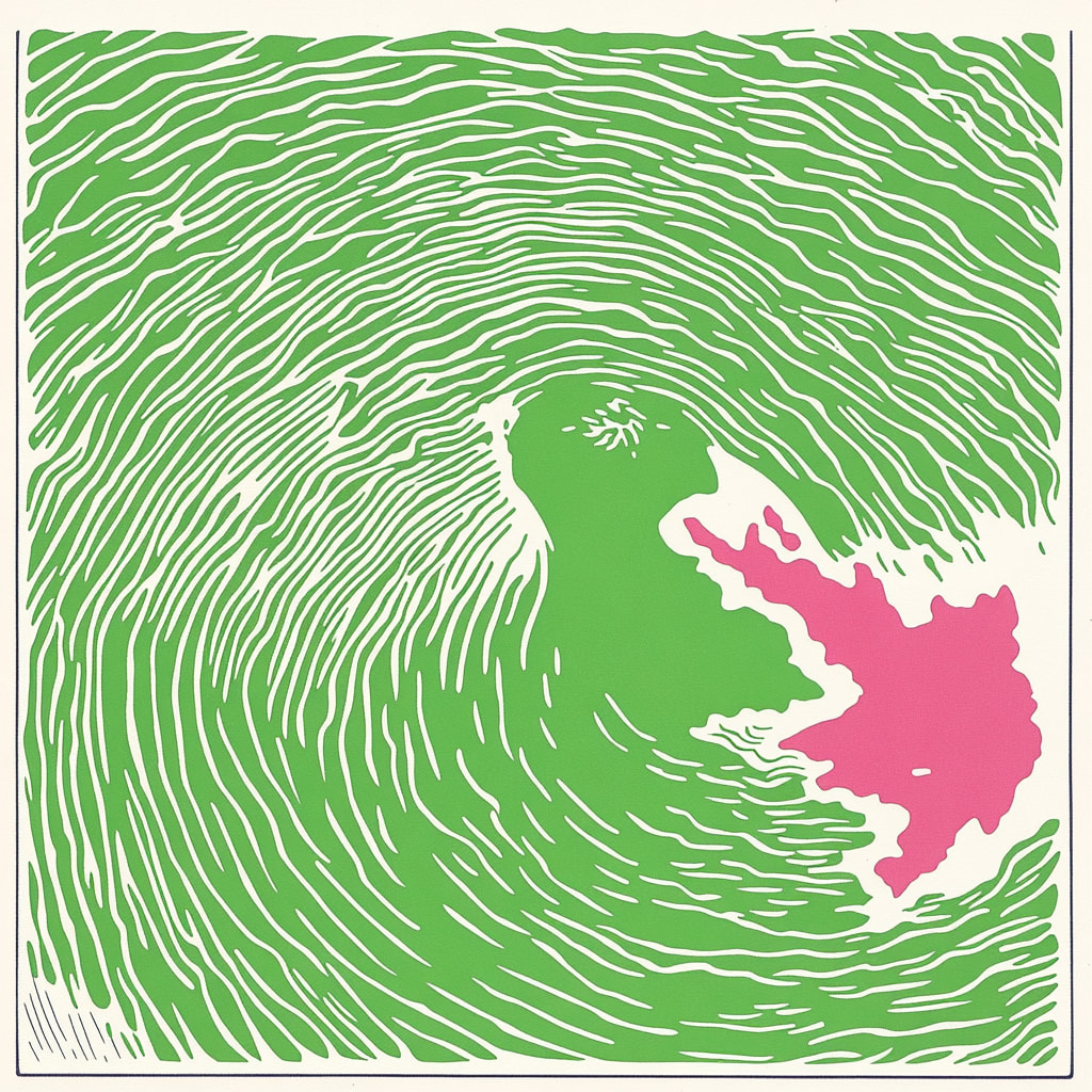
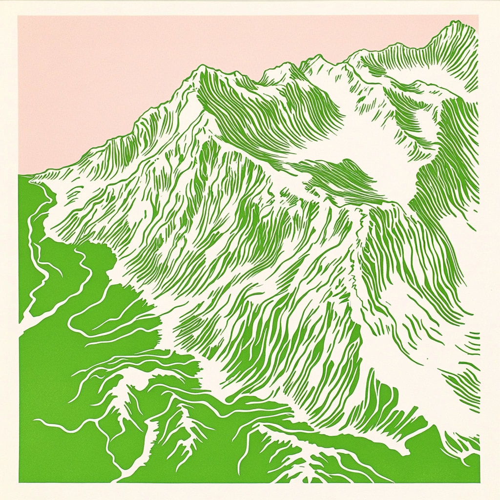
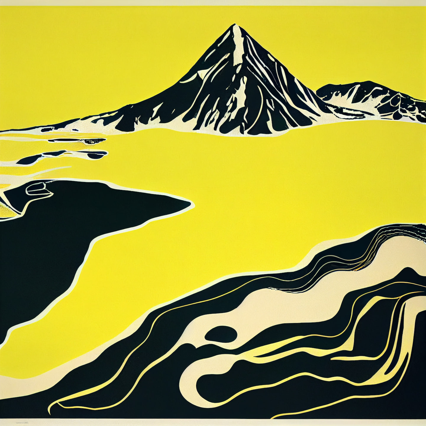
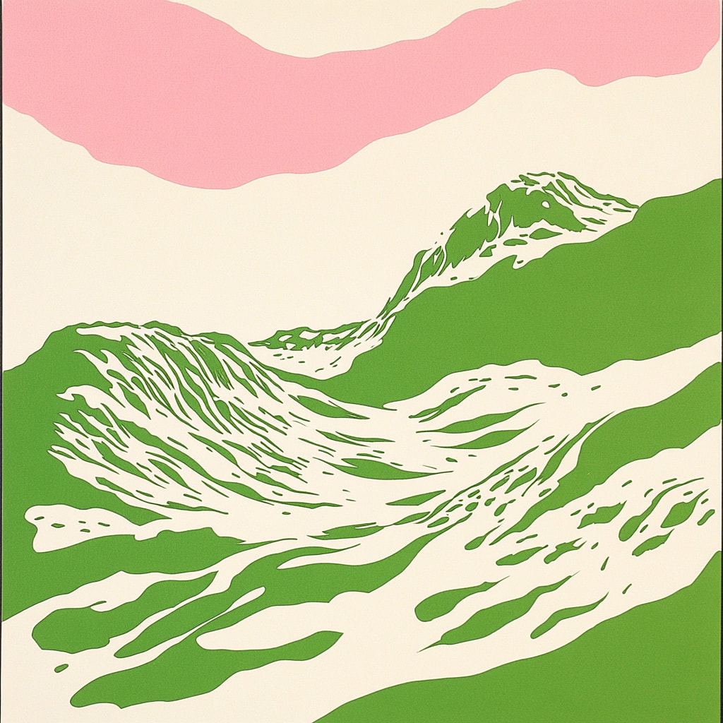
With the niche subject matter set, I asked Midjourney to create me topographical maps and posters in the style of 1970s / 1980s Polish posters. This was a fascinating era of graphic creativity, as artists such as Jan Lenica, Wiktor Górka, and Henryk Tomaszewski sought to blur the lines between designer and artist. Posters from this era feature playful, painterly gestures, hand-rendered type, and often bold, cartoon-like illustration. All of this was then beautifully screen-printed in bright, accented colours.
So then, with that plugged into the plagiarism-machine™, I tested slight variations on prompting and initially ran through Midjourney’s test version with high styling parameters.
As with all AI artwork, the results are of course ephemeral, and contain plenty of gibberish. The topography makes little sense, nor is any of it accurate to any actual landmass.

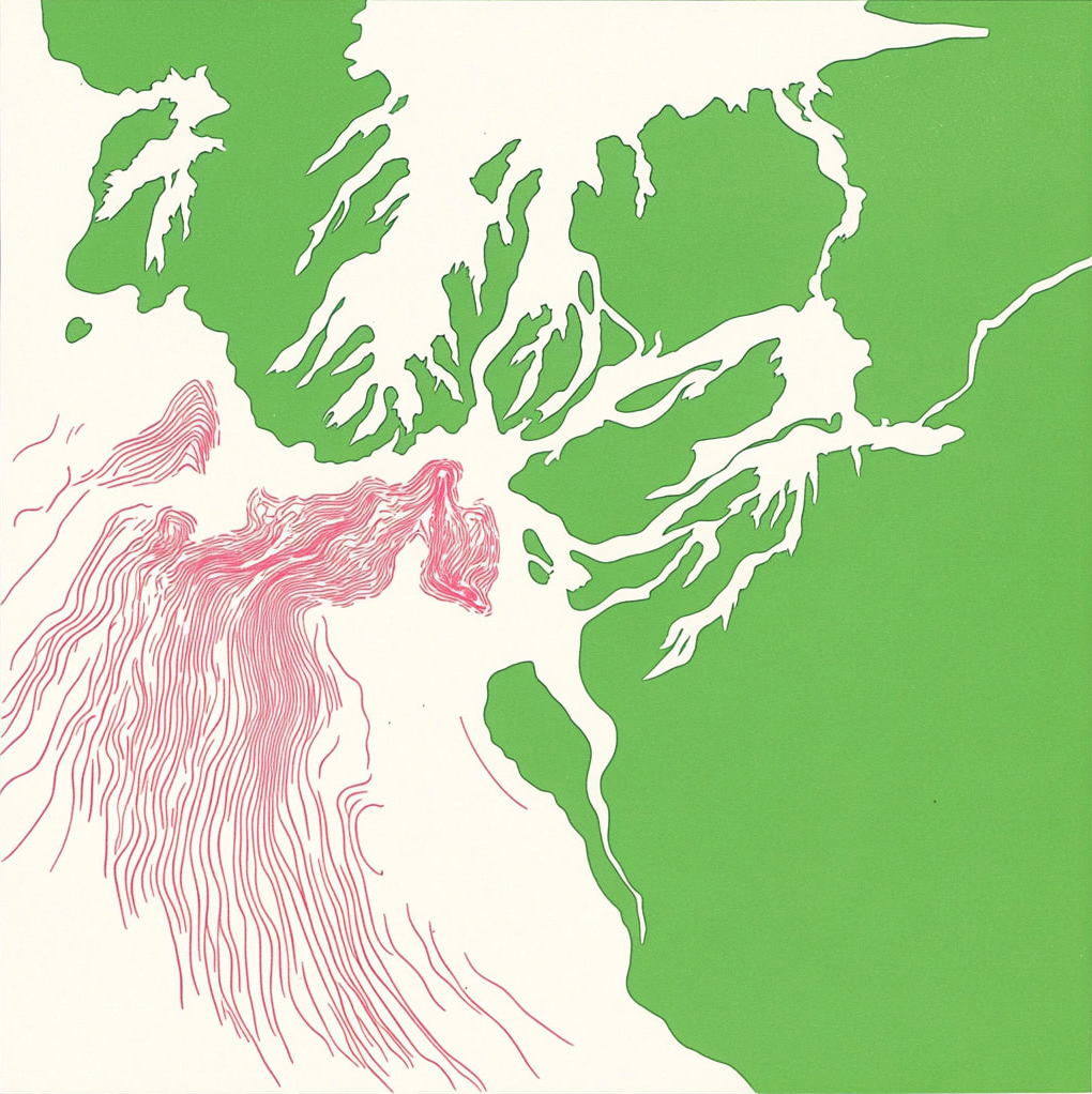
But that said, there’s plenty of intriguing abstraction at play - particularly in the way the mountain topography is rendered. The colours are lovely too, but of course, this would all need to be redrawn properly and separated correctly in Illustrator using appropriate reference material.
Some interesting ideas then, perhaps - and maybe I’ll come back to. Well… if I live an Elven lifespan.